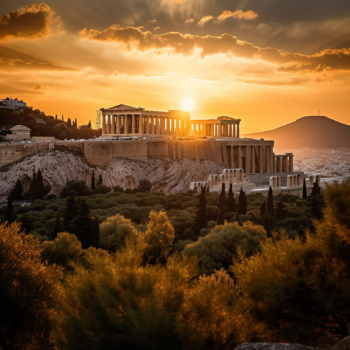
Greetings, dear readers! In this thrilling episode of our quizzical chronicles, we shall embark on a journey through time and space, guided by the fascinating art and science of antiquarian maps. These captivating relics of a bygone era not only depict the geographical understanding of our ancestors but also offer us a window into their worldview and the cultural, political, and social forces that shaped their lives.
The history of mapmaking stretches back thousands of years, with the earliest known maps dating to the ancient Babylonians, Greeks, and Romans. Throughout the centuries, the art of cartography evolved in tandem with the expanding boundaries of human knowledge, as explorers, scholars, and artists sought to capture the ever-changing contours of the Earth.
Antiquarian maps are a treasure trove of information, revealing a wealth of details about the time in which they were created. Their artistic embellishments, such as ornate cartouches, elaborate compass roses, and fantastical sea creatures, speak to the aesthetic sensibilities of their creators, while their geographic inaccuracies and omissions offer us a glimpse into the limits of their knowledge.
For example, consider the fascinating world of medieval mappae mundi, or “maps of the world.” These maps, often circular in shape, placed Jerusalem at the center of the world, reflecting the religious beliefs of their Christian creators. The continents and countries were arranged around the Holy City, with the known world often depicted in a highly stylized and symbolic manner.
As we venture forward in time, we encounter the Age of Exploration, when European explorers traversed the globe, charting new lands and expanding our understanding of the world. The maps produced during this era are marked by a growing emphasis on accuracy and detail, as well as the inclusion of new geographical features, such as the Americas and the shifting boundaries of Africa and Asia.
The study of antiquarian maps offers us not only an appreciation for the beauty and craftsmanship of these historical artifacts but also a deeper understanding of the human spirit of exploration and curiosity. As we continue to chart our own journeys through life, let us take inspiration from the intrepid explorers and cartographers who came before us, forging a path into the great unknown.


6 thoughts on “The Allure of Antiquarian Maps: Charting the World Through the Eyes of Our Ancestors”
Your point of view caught my eye and was very interesting. Thanks. I have a question for you.
I don’t think the title of your article matches the content lol. Just kidding, mainly because I had some doubts after reading the article.
I don’t think the title of your article matches the content lol. Just kidding, mainly because I had some doubts after reading the article.
Thank you for your sharing. I am worried that I lack creative ideas. It is your article that makes me full of hope. Thank you. But, I have a question, can you help me?
Your article helped me a lot, is there any more related content? Thanks!
Your point of view caught my eye and was very interesting. Thanks. I have a question for you.